Coastal intelligence · Bantry Bay demo · no hardware to buy

Seven-day coastal signals for growers, seaweed farmers and small ports, from satellites, ocean models, buoys and your own records.

Thermal stress, bloom risk, runoff shock, operability and growing conditions, each rated favourable, marginal or unfavourable for the work you do, and an assistant that cites every source. Decision support, not a verdict: for shellfish closures follow the official bulletin.

Nothing is charged when you apply. Plans and prices

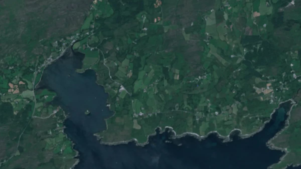
Bantry Bay, Co. Cork · Sentinel-2 via NASA HLS S30, 30 m · 10 Jul 2025Contains modified Copernicus Sentinel data 2025, processed by NASA (HLS)

Live map: today's signals, shared layers only.

Satellite time-lapse

The bay as the satellites saw it, the last thirty days

Chlorophyll-a from ocean-colour sensors and sea surface temperature over the bay, one frame per observed day, straight from the same grids the bay map draws.

Finding the last 30 satellite days…

3 Oct 2026 · 1/30

Chlorophyll-a (mg/m³)

Loading…

How the data gets here

Sky, sea and farm, turned into five signals you can act on

Every day we gather what the satellites, the sea and your own records say, put it into one shared language, match it to your site, and hand it back as five plain answers. Select any step to see the data behind it.

  1. 01 What we collect

    Open satellite, ocean and weather data, plus the records you already keep.

  2. 02 What we do with it

    Each morning, before any signal is worked out.

  3. 03 What you see

    Five signals for the coming days, each with its reasons.

  4. 04 What you can ask

    Questions answered from the same evidence.

    Ask the assistantPlain answers, each one citing where it came from.

    Every signal is colour-coded

    • Favourable · low
    • Marginal · watch
    • Unfavourable · stress

    Shown for the demo site. Your own loggers and records are added when you join.

The data behind each step

What each source looked like on a recent clear day, and exactly what we read from it.

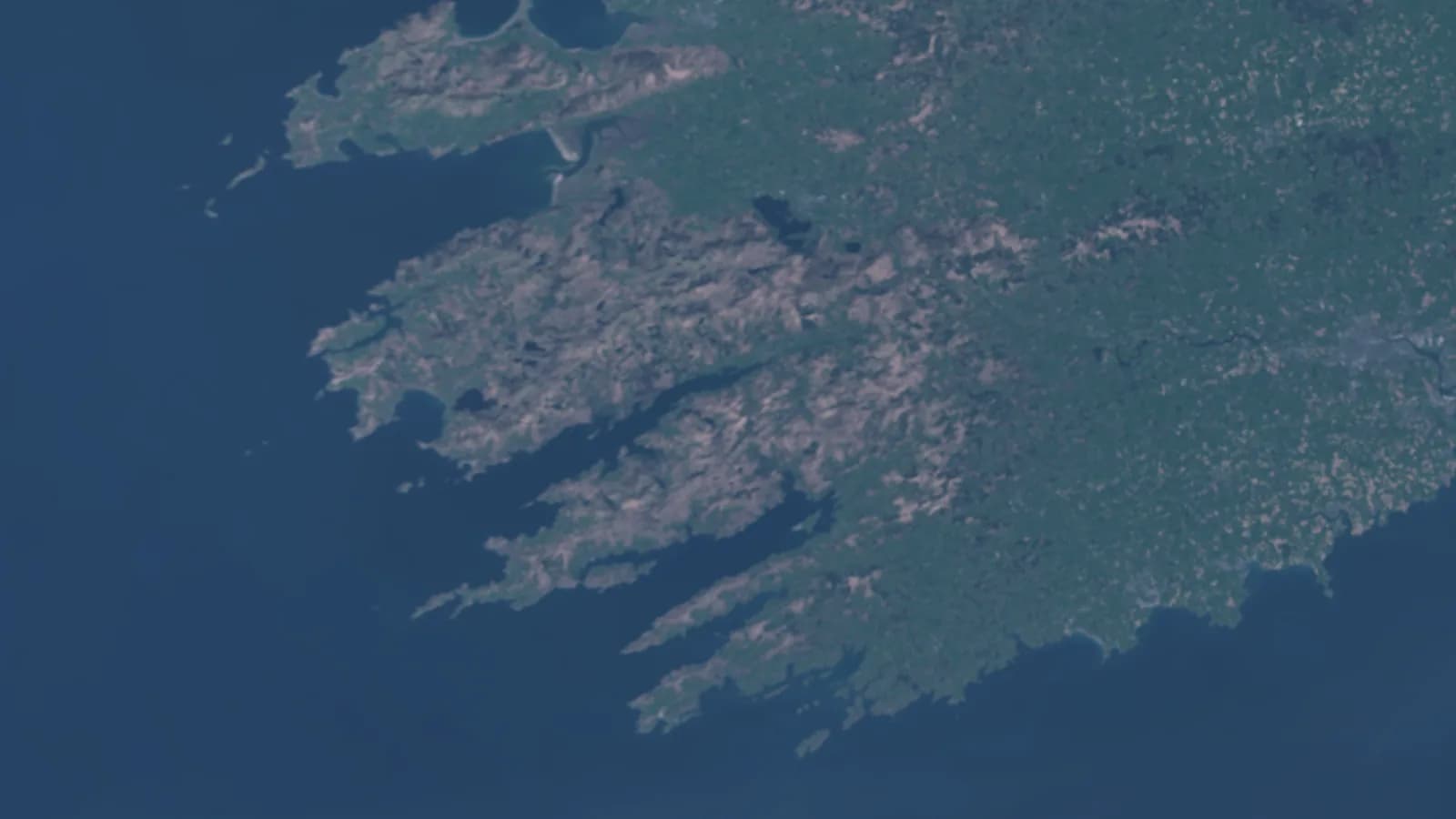
The south-west of Ireland from Sentinel-3 on a cloud-free day: the Dingle, Iveragh, Beara, Sheep's Head and Mizen peninsulas reaching into a dark Atlantic
South-west Ireland, Mizen Head to Dingle Bay and Cork · Sentinel-3 OLCI true colour, 300 m · 10 Apr 2025Contains modified Copernicus Sentinel data 2025, processed by Sentinel Hub on the Copernicus Data Space Ecosystem

Sky

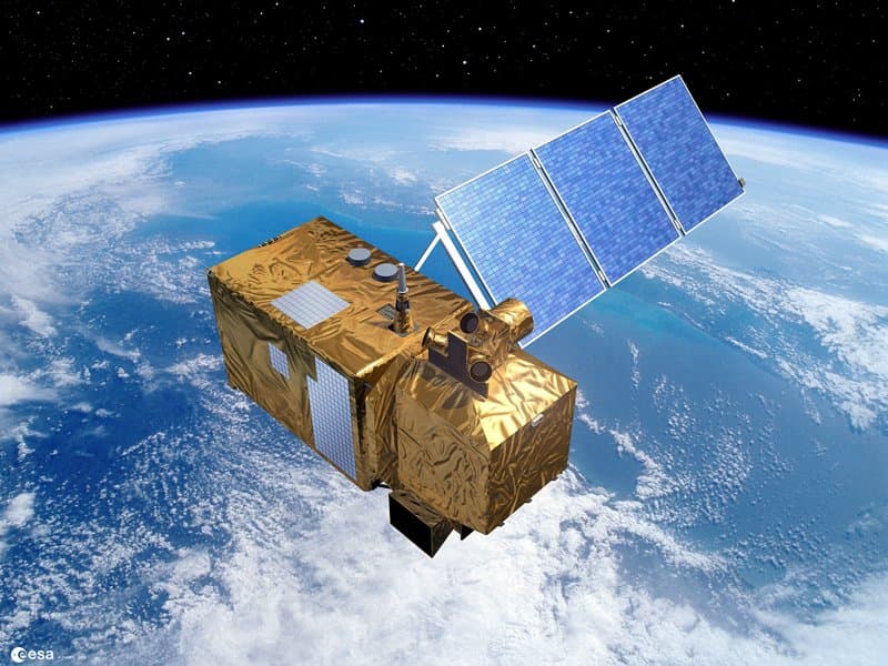
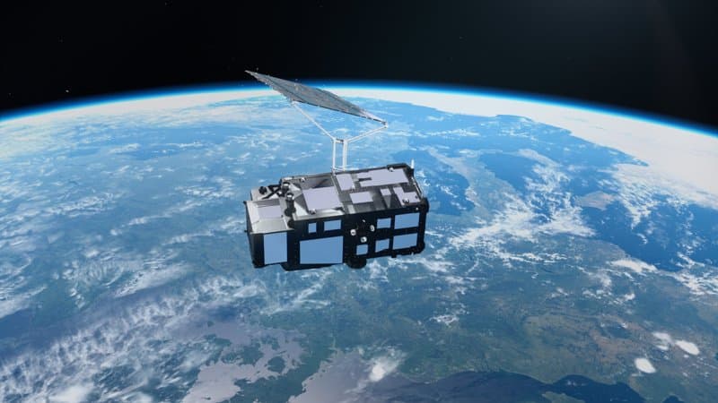
Sentinel-2 & Sentinel-3, plus weather forecasts

Dataset IDs (9)
  • OCEANCOLOUR_ATL_BGC_L3_NRT_009_111 (oc_l3_chl)
  • OCEANCOLOUR_ATL_BGC_L4_NRT_009_116 (oc_l4_chl)
  • OCEANCOLOUR_ATL_BGC_L3_MY_009_113 (oc_l3_chl_my)
  • OCEANCOLOUR_ATL_BGC_L4_MY_009_118 (oc_l4_chl_my)
  • SST_ATL_SST_L4_NRT_OBSERVATIONS_010_025 (sst_l4)
  • SENTINEL2_L2A via openEO on the Copernicus Data Space Ecosystem (cdse)
  • reanalysis-era5-single-levels (era5_single)
  • reanalysis-era5-land (era5_land)
  • ECMWF open data, IFS 0p25 (ecmwf_opendata.forecast)
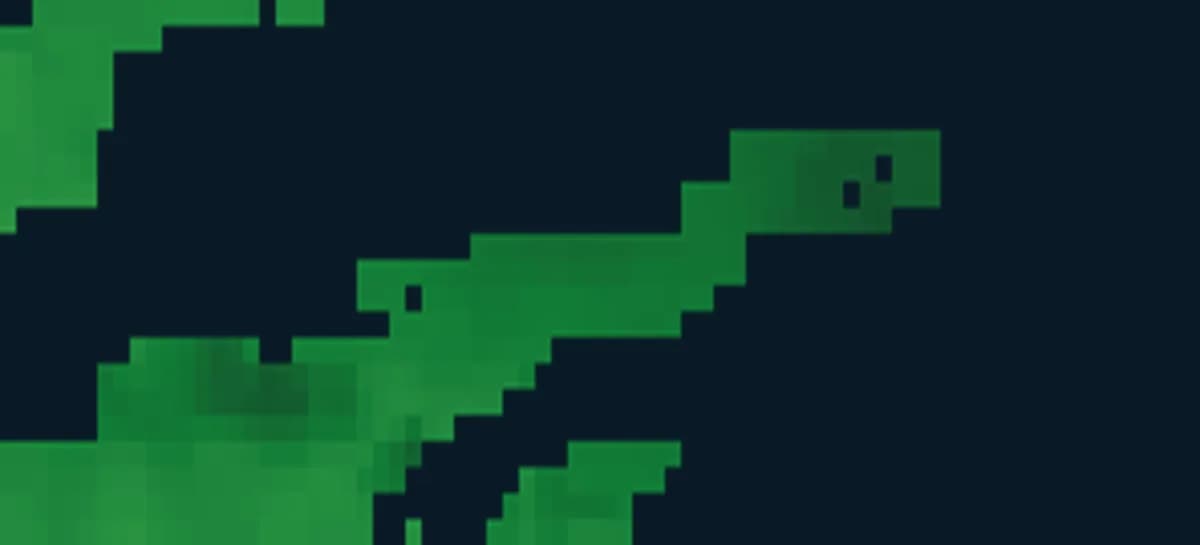
Chlorophyll-a over Bantry Bay from the Copernicus Marine ocean-colour L4 product, colour-mapped from the project's own grids: the bay's wedge in greens, land and cloud gaps left dark
  • Castletownbere tide gauge (Marine Institute)
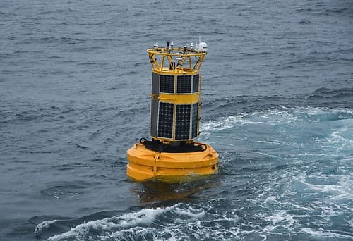
  • M3 weather buoy: 66 km to the south-west, off frame
0.1 mg/m³20 mg/m³
Bantry Bay · Copernicus Marine OCEANCOLOUR_ATL_BGC_L4_NRT_009_116 (oc_l4_chl), chlorophyll-a, 1 km · 20 Oct 2026Generated using E.U. Copernicus Marine Service Information, 2026; https://doi.org/10.48670/moi-00288

Sea

Buoys, tide gauges and ocean models

Dataset IDs (8)
  • IBI_ANALYSISFORECAST_PHY_005_001 (phy_daily, phy_hourly_surface)
  • IBI_ANALYSISFORECAST_BGC_005_004 (bgc_daily)
  • IBI_ANALYSISFORECAST_WAV_005_005 (wav_hourly)
  • IBI_MULTIYEAR_PHY_005_002 (phy_reanalysis_temp, phy_reanalysis_sal)
  • IBI_MULTIYEAR_BGC_005_003 (bgc_reanalysis)
  • IWBNetwork (erddap.buoys, source buoy)
  • IrishNationalTideGaugeNetwork (erddap.tide_gauges, source tide_gauge)
  • Marine Institute HABs database (hab_bulletin)
Adrigole Harbour on the Beara shore of Bantry Bay from Sentinel-2 at 10 m: a sheltered inlet with mussel longlines and rafts in the water, fields and bog above
Adrigole Harbour mussel longlines, Bantry Bay · Sentinel-2 L2A true colour, 10 m · 8 Jul 2025Contains modified Copernicus Sentinel data 2025, processed by Sentinel Hub on the Copernicus Data Space Ecosystem

Farm

What you already know and record

Dataset IDs (4)
  • operator CSV, source logger
  • operator CSV, source harvest / mortality
  • operator note
  • operator photo
Attribution (2026), as the dataset registry requires
  • E.U. Copernicus Marine Service: Generated using E.U. Copernicus Marine Service Information; https://doi.org/10.48670/moi-00027, moi-00026, moi-00025, moi-00029, moi-00028, moi-00284, moi-00286, moi-00288, moi-00289, moi-00152 licence
  • European Union / ESA, Copernicus Data Space Ecosystem: Contains modified Copernicus Sentinel data [2026], processed with openEO on the Copernicus Data Space Ecosystem licence
  • Copernicus Climate Change Service / ECMWF: Contains modified Copernicus Climate Change Service information [2026]; ERA5 (Hersbach et al.), https://doi.org/10.24381/cds.adbb2d47 and https://doi.org/10.24381/cds.e2161bac. Neither the European Commission nor ECMWF is responsible for any use of this information. licence
  • ECMWF: Source: www.ecmwf.int, ECMWF open data (IFS), licensed CC BY 4.0 licence
  • Marine Institute, Ireland: Data courtesy of the Marine Institute, Ireland (ERDDAP Irish Weather Buoy Network, Irish National Tide Gauge Network, HABs database), licensed CC BY 4.0 licence

Five signals

Each signal rated for the work you do, with its reasons

Not a verdict: each signal says whether the coming days look favourable, marginal or unfavourable for an activity or a species, and shows the evidence behind it.

Rating scale

Rating scale: FavourableMarginalUnfavourable

Example
Example farm profile on real data
Bay
the example bay
  • Operability

    Loading
    Loading

    Outlook from today

    Whether each of the next seven days is favourable, marginal or unfavourable for each activity you name (longline work, trestle access, harbour movements), from forecast wave height, period and direction, wind and tide in daylight. Days 6 and 7 carry low confidence.

    Loading live value…
    Inputs
    • Waves
    • Wind
    • Tide
    • Daylight
  • Thermal stress

    Loading
    Loading

    Sea temperature at stock depth

    Sea temperature at stock depth against the watch and stress thresholds of your species, bias-corrected with your own logger where you have one, else the nearest buoy.

    Loading live value…
    Inputs
    • Model sea temperature
    • Logger or buoy
    • Species thresholds
    • Climatology
  • Bloom risk

    Loading
    Loading

    Regional index, 0 to 100

    ScopeRegional

    A regional 0 to 100 index from satellite chlorophyll-a, the sea-temperature anomaly, calm days and catchment rain. The bay itself is not verified by it: for closures follow the official bulletin.

    Loading live value…

    Conditions that favour phytoplankton growth, regional model, not a measurement of toxic species. For closures follow the official bulletin.

    Inputs
    • Satellite chlorophyll-a
    • Sea-temperature anomaly
    • Calm days
    • Catchment rain
  • Runoff shock

    Loading
    Loading

    Salinity drop and catchment rain

    ScopeBay catchment

    Salinity drops after heavy catchment rain, from ERA5-Land and the ECMWF forecast over the bay's own catchment and the IBI model's salinity, confirmed by Sentinel-2 where cloud allows.

    Loading live value…
    Inputs
    • Model salinity
    • Catchment rain
    • Sentinel-2 turbidity
  • Growth

    Loading
    Loading

    Growing-conditions index, 0 to 1

    A 0 to 1 growing-conditions index for the species you stock, from temperature, light and day length, plus nutrients for seaweed.

    Loading live value…
    Inputs
    • Temperature
    • Light
    • Day length
    • Nutrients (seaweed)

Decision support, not a regulatory instrument: for shellfish closures follow the official bulletin. Open the example farm →

Who it is for

Built for the people who work the water

One service, read five ways. Growers, co-ops and harbours apply for a monthly plan; agencies and insurers get scoped access or a custom quote.

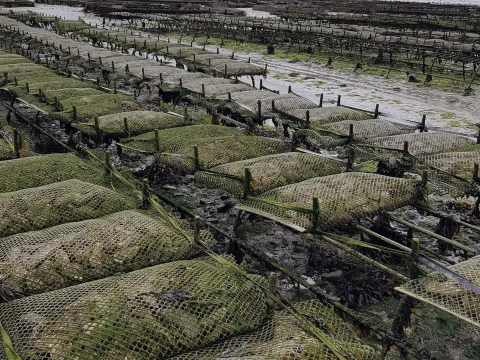
  • Rows of oyster bags on trestles at low tide under a grey sky
    Oyster trestles at low tide, France · Photo: Rockwell Branding Agency, Pexels

    Shellfish growers

    Mussel longlines and oyster trestles: thermal stress at stock depth, runoff after rain, and whether the week's work windows look favourable, marginal or unfavourable.

    Join the pilot →
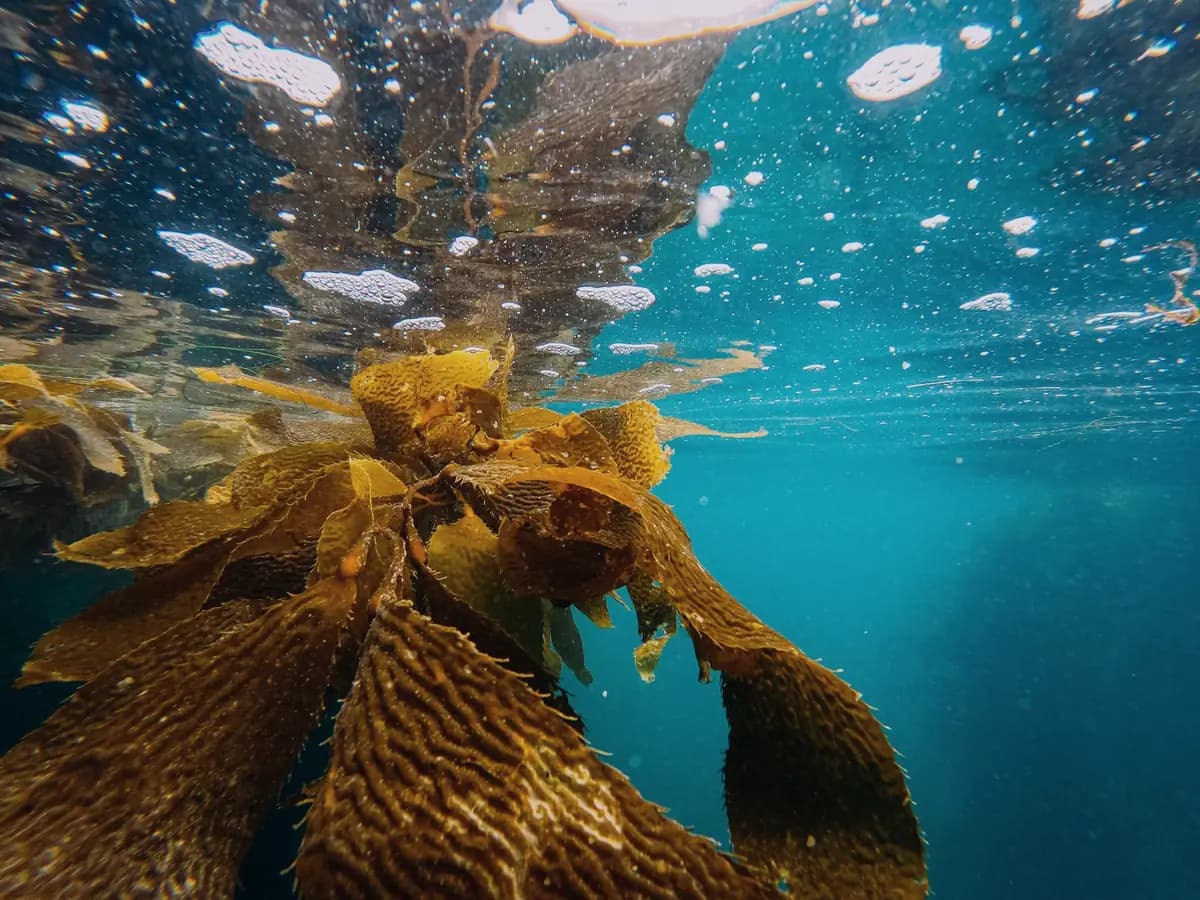
  • Golden kelp fronds under the surface in clear teal water
    Kelp below the surface · Photo: Kindel Media, Pexels

    Seaweed farmers

    Kelp growing conditions through the season, light and nutrients against climatology, and low-tide satellite checks of the lines.

    Join the pilot →
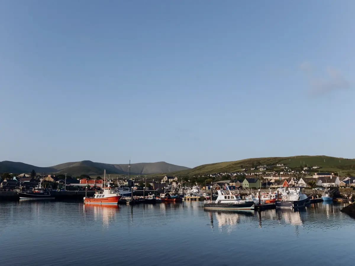
  • Fishing boats moored at Dingle harbour on a calm evening
    Dingle harbour, Co. Kerry · Photo: Anna Lupa, Pexels

    Ports and tourism operators

    Operability for harbour movements, boat trips and pier work from forecast waves, wind and tide: a two-week trial with your own limits.

    Try it in your harbour →
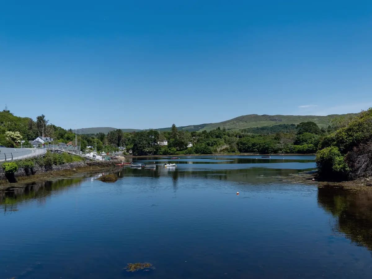
  • Glengarriff harbour in Bantry Bay on a still summer day, wooded shore and blue water
    Glengarriff harbour, Bantry Bay, Co. Cork · Photo: Bob Jenkin, Pexels

    Agencies

    Scoped, audited, read-only access to bay-level signals and event history through an MCP server, on request.

    Request data access →
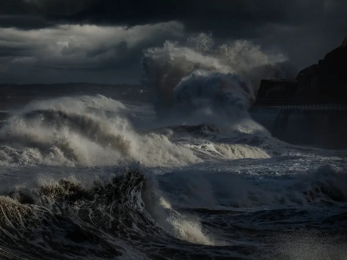
  • Storm waves breaking over a sea wall below a headland under dark cloud
    Storm waves on a sea wall · Photo: Ray Bilcliff, Pexels

    Insurers

    A bay-level risk index, skill tables and a back-tested event history, never an operator's records without their consent.

    Request data access →

Sustainable Development Goals

Contributing to the UN Sustainable Development Goals

The 17 Sustainable Development Goals are a shared plan, adopted by every UN member state, for people and the planet up to 2030. These six are the ones Coastal Intelligence supports most directly.

  • SDG 2Zero Hunger

    Targets 2.3 · 2.4

  • SDG 8Decent Work and Economic Growth

    Targets 8.3

  • SDG 12Responsible Consumption and Production

    Targets 12.2 · 12.3

  • SDG 13Climate Action

    Targets 13.1 · 13.3

  • SDG 14Life Below Water

    Targets 14.2 · 14.a · 14.b

  • SDG 17Partnerships for the Goals

    Targets 17.17

Coastal Intelligence is decision support. It contributes to these goals through the people who use it; it does not measure progress against them.

Triskelion AI Systems

About us

Triskelion AI Systems Limited

Triskelion AI Systems Limited is an Irish AI systems company. It designs and builds AI products and systems for organisations in a range of sectors.

Coastal Intelligence, the service on this page, is one of those products, made for shellfish growers, seaweed farmers and small ports.

It turns open Copernicus satellite and ocean-model data, Marine Institute observations and bulletins, and the records operators keep themselves into five signals and an assistant that cites every source.

Every signal is traceable to the data behind it, and every answer carries its citations. It is decision support, not a verdict: for shellfish closures the official bulletin is the authority.

Visit triskelionaisystems.com
Coastal Intelligence: seven-day coastal signals